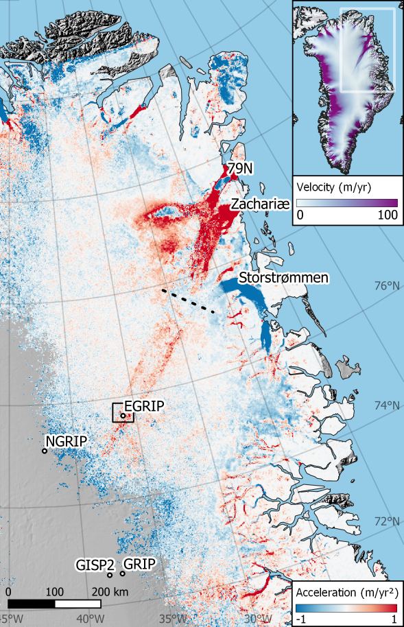
Accelerating ice flow at the onset of the Northeast Greenland Ice Stream

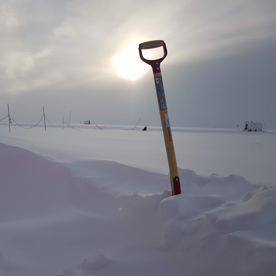
Deep in the interior of the Greenland ice sheet, ice flow is speeding up — but not due to recent changes in climate.

Read more

Grinsted, A., Hvidberg, C.S., Lilien, D.A. et al. Accelerating ice flow at the onset of the Northeast Greenland Ice Stream. Nat Commun 13, 5589 (2022). 10.1038/s41467-022-32999-2 Share

The Transient Sensitivity of Sea Level Rise

As we warm our planet, oceans expand, ice on land melts, and sea levels rise. On century time scales, we find that the sea level response to warming can be characterized by a single metric: the transient sea level sensitivity. Historical sea level exhibits substantially higher sensitivity than model-based estimates of future climates in authoritative climate assessments. Implying recent projections could well underestimate the likely sea level rise by the end of this century.

Read more

Grinsted, A. and Christensen, J. H., (2021) The transient sensitivity of sea level rise, Ocean Sci., 17, 181–186, 10.5194/os-17-181-2021 Share

Normalized US hurricane damage estimates using area of total destruction, 1900−2018

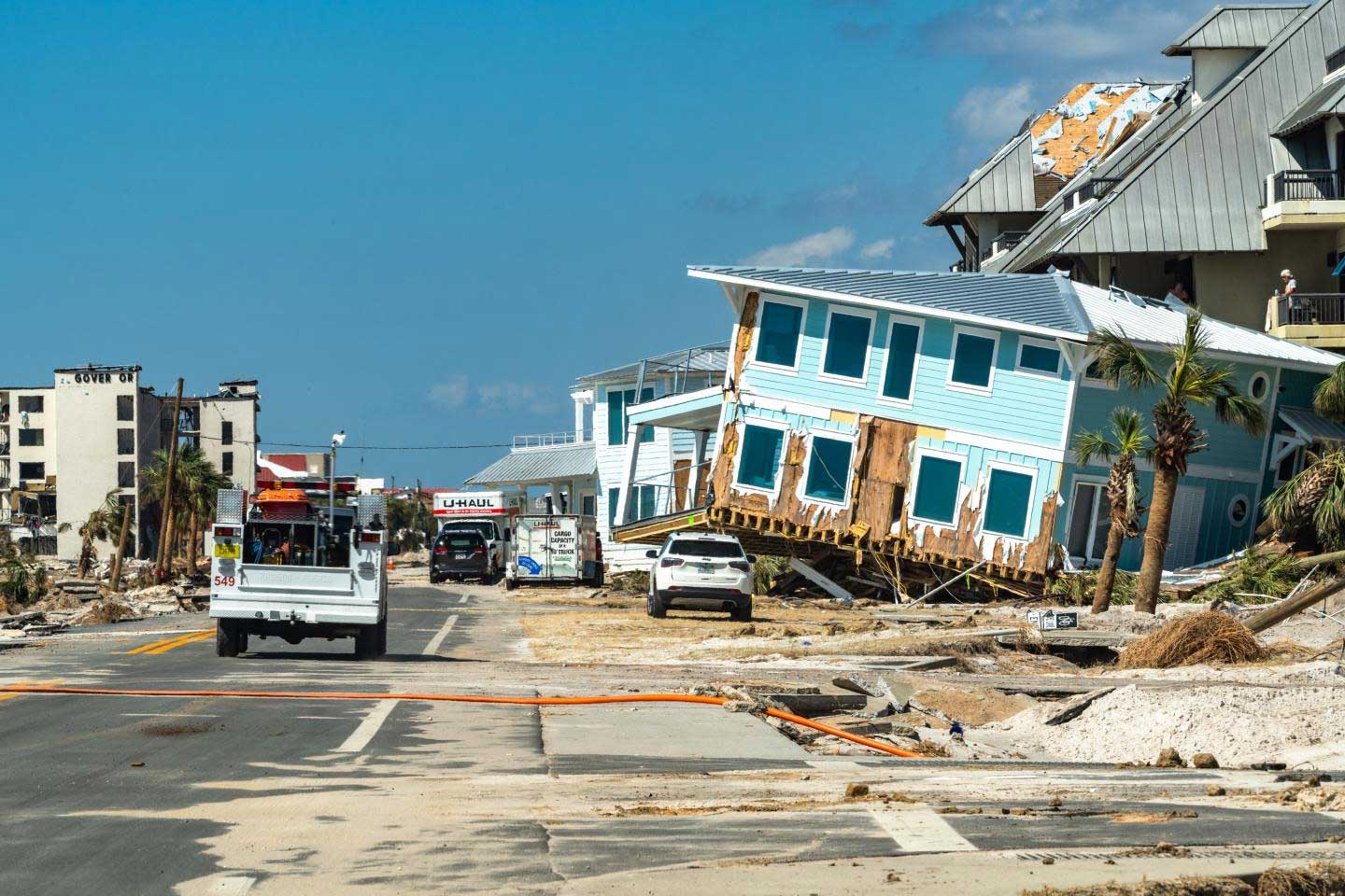
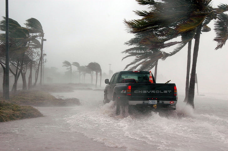
We present an approach to normalize hurricane damage, where damage is framed in terms of an equivalent area of total destruction. This has some advantages over customary normalization schemes, and we demonstrate that our record has reduced variance and correlates marginally better with wind speeds and pressure. That is, it allows us to better address climatic trends. We find that hurricanes are indeed becoming more damaging. The frequency of the very most damaging hurricanes has increased 3 times per century.

Read more

Normalized US hurricane damage estimates using area of total destruction, 1900−2018, Aslak Grinsted, Peter Ditlevsen and Jens Hesselbjerg Christensen, Proceedings of the National Academy of Sciences. 10.1073/pnas.1912277116 Share

Blender terrain workflow notes

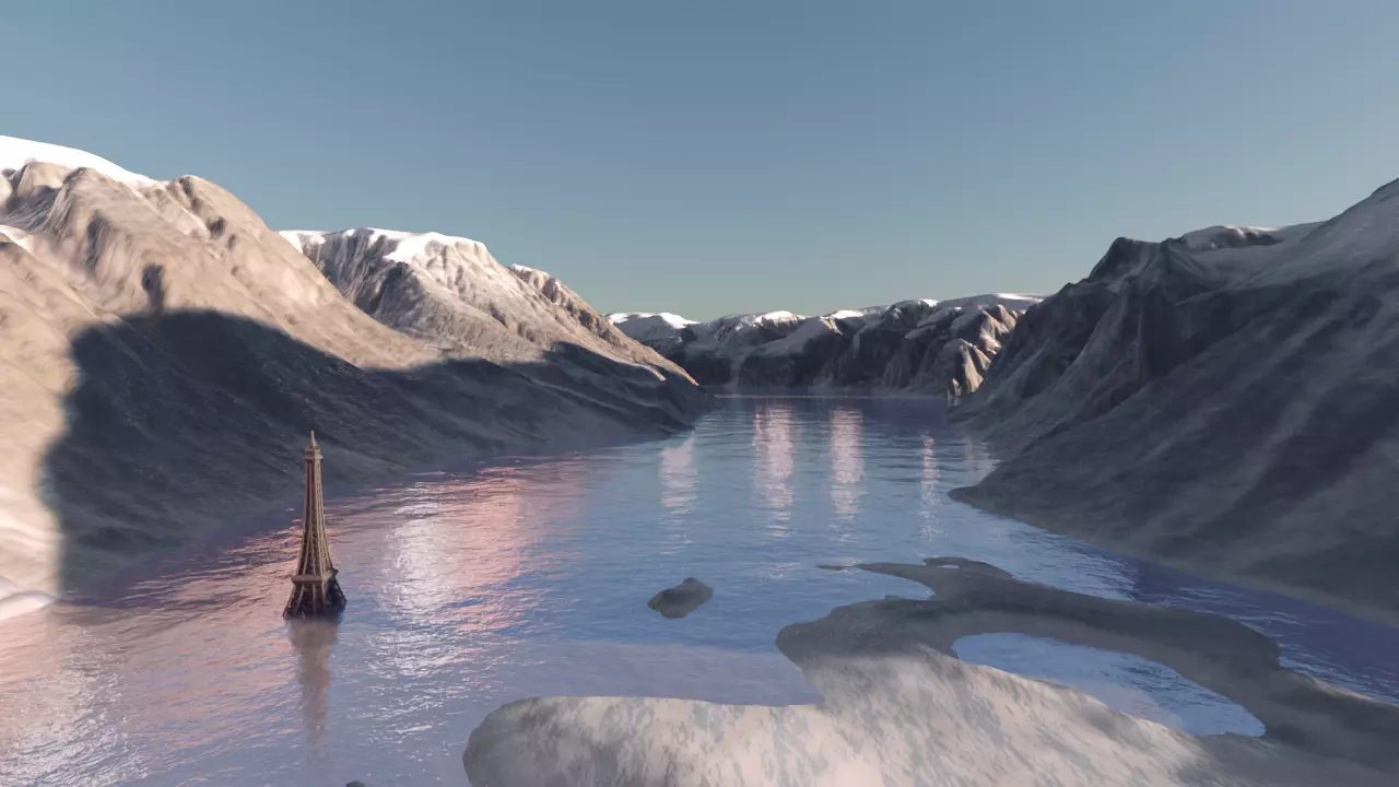
Here are some personal notes for how to make elevation models using Blender. install the BlenderGIS plugin. (optional) import geotiff with import using geotiff “DEM as a displacement texture”. Scale the model down by a factor 1000. (km to m.) the dome at EGRIP). Offset the model so that (0,0,0) is a point of interest. E.g. the dome. Decide on a vertical scaling Tune the models subdiv modifier to have sufficient resolution for the viewport/render.

Read more

Share

The Transient Sea Level response to external forcing in CMIP6 models

The planet is warming, and sea levels are rising as oceans expand and ice on land melts. The warmer the Earth gets, the faster the seas will rise. Projecting future sea level rise (SLR) using numerical models has proved extremely challenging and, as a consequence, estimates carry a large uncertainty. How good are the models of ocean expansion and mass loss from glaciers and ice sheets? We tackle this question by comparing how the models react to future warming with how sea level reacted in the past. The models for glaciers, Greenland, and the oceans are compatible with observations. For the largest ice mass on the planet, the Antarctic Ice Sheet, the models do not agree with the observations. As a result, projections of global SLR may be an underestimate.

Read more

Grinsted, A., Bamber, J., Bingham, R., Buzzard, S., Nias, I., Ng, K., & Weeks, J. (2022). The transient sea level response to external forcing in CMIP6 models. Earth's Future, 10, e2022EF002696. 10.1029/2022EF002696 Share

The Bristol CMIP6 Data Hackathon

The Bristol CMIP6 Data Hackathon formed part of the Met Office Climate Data Challenge Hackathon series during 2021, bringing together around 100 UK early career researchers from a wide range of environmental disciplines. The purpose was to interrogate the under-utilised but currently most advanced climate model inter-comparison project datasets to develop new research ideas, create new networks and outreach opportunities in the lead up to COP26. Experts in different science fields, supported by a core team of scientists and data specialists at Bristol, had the unique opportunity to explore together interdisciplinary environmental topics summarised in this article.

Read more

Mitchell, D.M., Stone, E.J., Andrews, O.D., Bamber, J.L., Bingham, R.J., Browse, J., Henry, M., MacLeod, D.M., Morten, J.M., Sauter, C.A., Smith, C.J., Thomas, J., Thomson, S.I., Wilson, J.D. and (2022), The Bristol CMIP6 Data Hackathon. Weather, 77: 218-221. 10.1002/wea.4161 Share

FEniCS on windows

FEniCS is a really nice tool for finite element modelling in python. It is difficult to install FEniCS on windows. The official instructions use a docker image. which I think is a bit heavy handed. I therefore installed it in a WSL-Ubuntu (Windows Subsystem for Linux). My experience with that has been friction free, so here are some very brief notes of what I did. In windows Enable WSL2 and install a Ubuntu image.

Read more

Share

Modeling enhanced firn densification due to strain softenin

Ice becomes more less viscous when it is being strained. It is a power law fluid. Therefore firn densifies faster in shear margins. In this paper we show how existing firn densification models can be modified to include this effect.

Read more

Modeling enhanced firn densification due to strain softening, The Cryosphere Discuss. [preprint], 10.5194/tc-2021-240, in review, 2021. Share

On the limitations of using polarimetric radar sounding to infer the crystal-orientation fabric of ice masses

The orientation of ice-crystal grains in glacier ice locally co-evolve with and can enhance the flow of ice. Inferring the grain orientation structure inside glaciers and ice-sheets is therefore essential for improving the accuracy and realism of ice-flow models, with implications for reducing the uncertainty of future sea-level rise projections. In this work, we introduce a new radio-wave model and use it to investigate the extent to which radar surveys over glaciers and ice sheets can reveal the orientation information necessary to improve such ice-flow models. We show that conventional polarimetric radar surveys, where transmitted radio waves are typically incident perpendicular to the surface, might be poorly suited for the task; a configuration that is effectively blind to a specific but important component of the grain orientation structure. We find, however, that radio waves transmitted at an oblique angle to the surface might instead overcome this crucial limitation and allow the sought-after grain orientation information to be inferred.

Read more

Rathmann, N., D. Lilien, A. Grinsted, T. Gerber, T.J. Young, D. Dahl-Jensen, On the limitations of using polarimetric radar sounding to infer the crystal-orientation fabric of ice masses, GRL, 2021. 10.1029/2021GL096244 Share

Estimating the ice thickness of the Müller Ice Cap to support selection of a drill site

Read more

Zinck, A.-S. P. and Grinsted, A.: Brief communication: Estimating the ice thickness of the Müller Ice Cap to support selection of a drill site, The Cryosphere, 16, 1399–1407, 10.5194/tc-16-1399-2022, 2022. Share

Upstream flow effects revealed in the EastGRIP ice-core using a Monte Carlo inversion of a two-dimensional ice-flow model

The EastGRIP ice core is located in an ice-stream on the eastern flank of the Greenland ice-sheet. Deeper and older ice in the ice core will have originated upstream from the drill site. In this paper, we look into the upstream effects on the ice core.

Read more

Gerber, T. A., Hvidberg, C. S., Rasmussen, S. O., Franke, S., Sinnl, G., Grinsted, A., Jansen, D., and Dahl-Jensen, D., Upstream flow effects revealed in the EastGRIP ice core using Monte Carlo inversion of a two-dimensional ice-flow model, The Cryosphere, 15, 3655–3679, 10.5194/tc-15-3655-2021, 2021. Share

Ice thickness and volume of Renland Ice Cap, East Greenland

Read more

Koldtoft, I., Grinsted, A., Vinther, B., & Hvidberg, C. (2021). Ice thickness and volume of the Renland Ice Cap, East Greenland. Journal of Glaciology, 1-13. 10.1017/jog.2021.11 Share